How we measure
For every window we rebuild what stands in front of it, building by building and tree by tree, from ICGC, Government of Navarre and Basque Government LiDAR, and follow the sun minute by minute, all 365 days of the year. Where there's no LiDAR yet, the result is indicative and we tell you before you pay.
Step by step
The flat and its façades
The land registry (Catastro) tells us which building it is, how many floors it has and which way each façade faces, to the degree. If you don't know where the windows look, we calculate every side.
What stands in front
From outside each window, at the height of its floor, we trace lines in every direction over the LiDAR: buildings, trees and, further off, the hills, which also block the sun at sunrise and sunset. The result is the window's horizon, the outline in the drawing on this page.
The sun, minute by minute
We work out where the sun is every minute of all 365 days, with the formulas of NOAA, the US weather agency, and check whether it is above that horizon and in front of the façade.
What you get
Hours of direct sun a year, month by month, when the sun comes in and leaves on the key days, and how much sky each window sees.
What the calculation can't see, and we tell you
- Trees appear in leaf all year round. In winter, if they're deciduous, a little more sun gets through.
- The most recent buildings may be missing. If we spot new construction nearby, we'll warn you.
- Awnings, balconies and blinds don't count: we measure the sun reaching the centre of the window.
- It's not a valuation or a certificate. It's a measurement to help you decide.
A real case
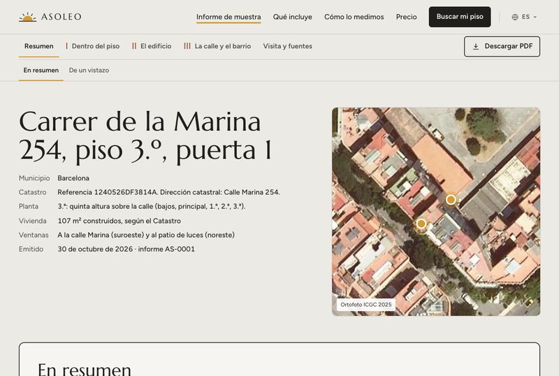
The sample report is for Carrer de la Marina 254. The flat has two façades, and each one gets very different sun:
| Window | A year | 21 December | 21 June |
|---|---|---|---|
| Window onto Calle Marina (south-west) | 1,469 h | 2 h 39 min | from 13:40 to 18:40 |
| Window onto the lightwell (north-east) | 668 h | No sun | from 7:55 to 11:53 |
Same flat, same floor: what changes is which way each window faces and what stands in front of it. That's why we measure each one separately. Sample report
How far off it can be
It depends on how detailed the terrain model is. The report says which one was used for your flat.
- 25 or 50 cm LiDAR
- about 5 min a day
- 1 m LiDAR
- about 15 min a day
- 2 m LiDAR
- about 20 min a day
- No LiDAR, with Catastro buildings
- 20 to 40 min a day. It's an estimate, and we tell you before you pay